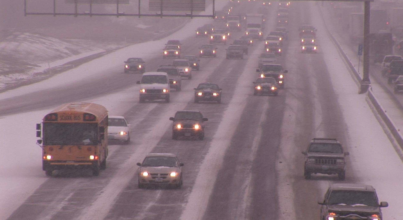
Photo: Yuck.
Ice-covered roads along with a wintry mix of snow and sleet will greet commuters Tuesday morning and later in the afternoon, Dec. 29, as the first blast of winter, hits Belmont and Eastern Massachusetts, according to the latest forecast from the National Weather Service in Taunton.
The service issued a winter weather advisory at 10:15 p.m. Monday, Dec. 28 that will last until 1 p.m. Tuesday, resulting in hazardous travel conditions as a mix of snow and sleet coats streets and highways before dawn with a layer of an icy slush on untreated roadways.
While conditions will improve in the early afternoon as temperatures rise, streets will once again become slippery in the afternoon as a cold front comes through the Boston area, warns the service.


Leave a Review or Comment