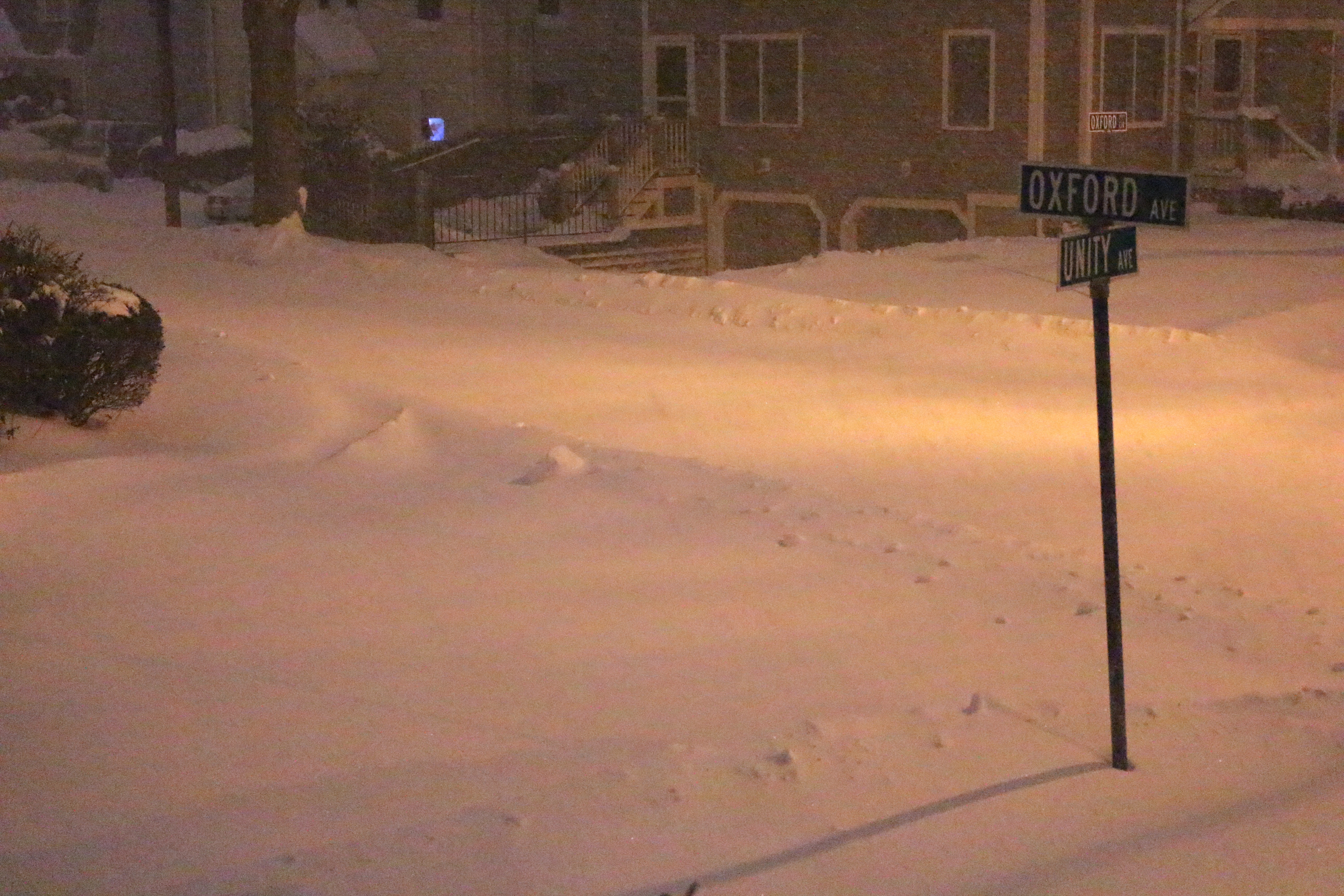
A blizzard warning remains in effect in Belmont and all of eastern Massachusetts until 1 a.m., Wednesday, Jan. 28, as the town and region have literally been shut down as a historic Nor’easter delivers nearly two feet of snow and gale force winds to New England.
In its latest report issued at 4:34 a.m. today, Tuesday, Jan. 27, the National Weather Service in Taunton said the region can expect heavy snow this morning at the rate of 2 to 3 inches an hour accompanied by strong and damaging winds – from the north at a sustained 25 to 35 mph with gusts to 65 mph – resulting in white-out/blizzard conditions with near zero visibility.
“Travel will be impossible and life threatening across the entire region. Also snow may be wet enough to result in downed tree limbs and power outages in addition to the winds,” said the NWS.
Snow totals have been reduced slightly as the NWS is predicting 15 to 25 inches of snow, a dip from earlier predictions of 20 to 30 inches. But the strong winds will cause snow drifts of up to four feet in some locations.
But there is light at the end of the tunnel: the NWS said the worst of the storm will be through this afternoon then diminishing later tonight with the winds slowing beginning in the early afternoon.


Leave a Review or Comment