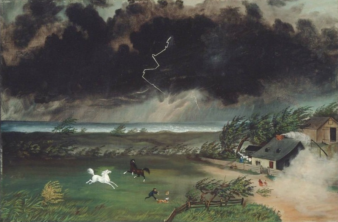
Photo: “Running Before the Storm,” (c. 1870s) Unknown artist, in the collection of the Museum of Fine Arts, Boston.
A rash of severe thunderstorms accompanied by potentially damaging winds is “likely” to pass through Belmont and most of eastern Massachusetts just before and during the evening rush hour, Tuesday, June 23, according to the National Weather Service.
There is even a “very low risk of an isolated tornado” and a potential of “golf ball-sized” hail along with torrential downpours and localized floorings, according to the service.
In a Hazardous Weather Outlook forecast issued at 3:40 a.m., the NWS stated the fast-moving storms, with “damaging straight line winds gusts of up to 70 mph” capable of knocking down trees and power lines, will arrive over Belmont between 3 p.m. and 8 p.m.
The severity of the storms will depend on how much sunshine the area will see in the morning and just past noon as more sun will heat up the air causing stronger storms as a cold front comes rumbling through the area.


Leave a Review or Comment